Atlas of the New Dutch Water Defence Line
Bernard Colenbrander red. · John Kirkpatrick vert. · Clemens Steenbergen · Johan van der Zwart · Joost Grootens
Hardback208 pagina’sMeertalig
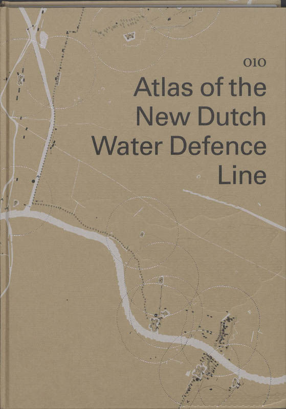
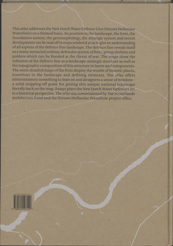
This atlas addresses the New Dutch Water Defence Line (Nieuwe Hollandse Waterlinie) on a themed basis. Its position in the landscape, the forts, the inundation system, the geomorphology, the strategic system and recent developments can be read off in maps rendered so as to give an understanding of all aspects of the defence line landscape. The defence line reveals itself as a many-tentacled military defensive system of forts, group shelters and polders which can be flooded at the threat of war. The maps show the cohesion of the defence line as a landscape-strategic structure as well as the topographic composition of this structure in layers and components. The more detailed maps of the forts display the wealth of historic places, insertions in the landscape and defining elements. The atlas offers administrators something to lean on and designers a sense of freedom - a solid stepping-off point for getting this unique national landscape literally back on the map. Essays place the New Dutch Water Defence Line in a historical perspective. The atlas was commissioned by The Netherlands Architecture Fund and the Nieuwe Hollandse Waterlinie Project Office.
In het kort
ISBN-13
9789064507120
Uitgever
Verschenen
1 december 2009
Bibliografisch
ISBN-139789064507120
Editie1
TaalMeertalig mul
Pagina’s208
GeïllustreerdJa
Uitgave
Uitgevernai010 uitgevers/publishers
CB-relatie-id7100743
Verschenen1 december 2009
StatusOnbekend 00
BeschikbaarheidContact leverancier 99
Zonder prijsPrijs volgt
Vorm & inhoud
ProductvormHardback BB
SamenstellingPakket (meerdelig)
Classificatie
NUR (hoofd)Bouwkunst, architectuur 648
NUR (alle)648 Bouwkunst, architectuur
Medewerkers
Redacteur B01Rita Brons
Redacteur B01Bernard Colenbrander
Vertaler B06John Kirkpatrick
Auteur A01Clemens Steenbergen
Auteur A01Johan van der Zwart
Auteur A01Joost Grootens
Herkomst
Werk-id (NSTC)500306686
MeldingBevestigd bij publicatie 03
Bijgewerkt6 augustus 2026
Lijkt op dit boek








NSTC 500306686 · CB-relatie 7100743 · Bijgewerkt 6 augustus 2026