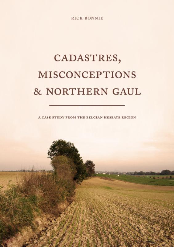
Cadastres, misconceptions & Northern Gaul a case study from the Belgian Hesbaye region
Paperback162 pagina’sEngels
Ook verkrijgbaar als
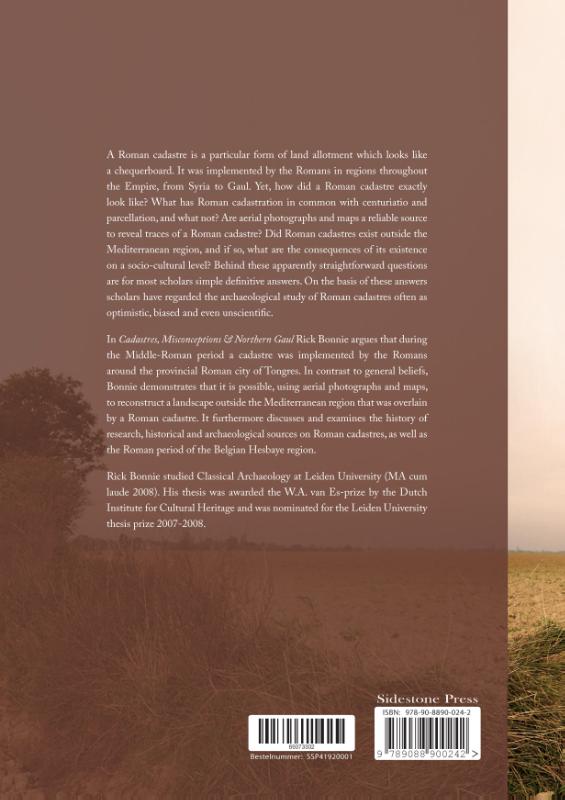
A Roman cadastre is a particular form of land allotment which looks like a chequerboard. It was implemented by the Romans in regions throughout the Empire, from Syria to Gaul. Yet, how did a Roman cadastre exactly look like? What has Roman cadastration in common with centuriatio and parcellation, and what not? Are aerial photographs and maps a reliable source to reveal traces of a Roman cadastre? Did Roman cadastres exist outside the Mediterranean region, and if so, what are the consequences of its existence on a socio-cultural level? Behind these apparently straightforward questions are for most scholars simple definitive answers. On the basis of these answers scholars have regarded the archaeological study of Roman cadastres often as optimistic, biased and even unscientific.
In Cadastres, Misconceptions and Northern Gaul Rick Bonnie argues that during the Middle-Roman period a cadastre was implemented by the Romans around the provincial Roman city of Tongres. In contrast to general beliefs, Bonnie demonstrates that it is possible, using aerial photographs and maps, to reconstruct a landscape outside the Mediterranean region that was overlain by a Roman cadastre. It furthermore discusses and examines the history of research, historical and archaeological sources on Roman cadastres, as well as the Roman period of the Belgian Hesbaye region.
In Cadastres, Misconceptions and Northern Gaul Rick Bonnie argues that during the Middle-Roman period a cadastre was implemented by the Romans around the provincial Roman city of Tongres. In contrast to general beliefs, Bonnie demonstrates that it is possible, using aerial photographs and maps, to reconstruct a landscape outside the Mediterranean region that was overlain by a Roman cadastre. It furthermore discusses and examines the history of research, historical and archaeological sources on Roman cadastres, as well as the Roman period of the Belgian Hesbaye region.
In het kort
Bibliografisch
ISBN-139789088900242
TaalEngels eng
Pagina’s162
GeïllustreerdJa
Uitgave
Vorm & inhoud
ProductvormPaperback BC
SamenstellingLos product
Classificatie
NUR (hoofd)Archeologie 682
NUR (alle)682 Archeologie
Medewerkers
Auteur A01R. Bonnie
Herkomst
Werk-id (NSTC)500483385
MeldingBevestigd bij publicatie 03
Bijgewerkt6 augustus 2026
Lijkt op dit boek
Durrington Walls and Woodhenge: A place for the living
Durrington Walls and Woodhenge: A place for the living
Indigenous Knowledge in Transformation
Indigenous Knowledge in Transformation
Archaeological Approaches to Inequality, Political Organisation, and Social Complexity
Archaeological Approaches to Inequality, Political Organisation, and Social Complexity
Stadterweiterungen und urbane Dynamik im Mittelalter
Stadterweiterungen und urbane Dynamik im Mittelalter
Prehistoric Shore Settlements of the Southwestern Balkans
Prehistoric Shore Settlements of the Southwestern Balkans
NSTC 500483385 · CB-relatie 9180064 · Bijgewerkt 6 augustus 2026