
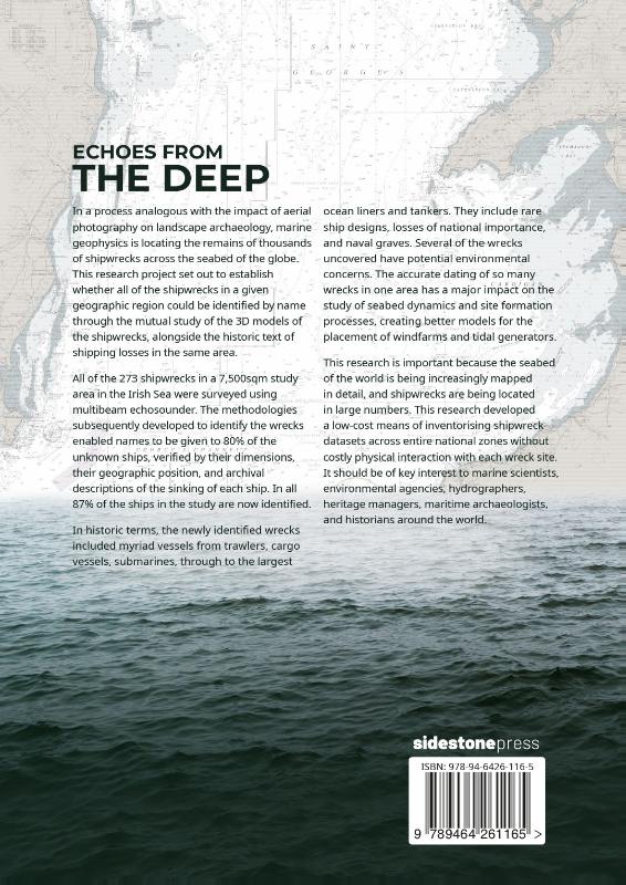
Echoes from the Deep Inventorising shipwrecks at the national scale by the application of marine geophysics and the historical text
Paperback250 pagina’sEngels
Ook verkrijgbaar als
List of FiguresGlossaryPreface1. Introduction: Echoes from the Deep2. Researching and databasing the historical text3. The Research Phase 1: Establishing the extent of the unknown shipwrecks4. The Research Phase 2: Identifying the unknown shipwrecks5. Conclusions, impact & significanceAppendix 1: Summary of results of all 273 shipwrecks featured in the researchAppendix 2: Datasheets of the 129 shipwrecks identified during Phase 2 of the researchBibliographyIndexIn a process analogous with the impact of aerial photography on landscape archaeology, marine geophysics is locating the remains of thousands of shipwrecks across the seabed of the globe. This research project set out to establish whether all of the shipwrecks in a given geographic region could be identified by name through the mutual study of the 3D models of the shipwrecks, alongside the historic text of shipping losses in the same area.All of the 273 shipwrecks in a 7,500sqm study area in the Irish Sea were surveyed using multibeam echosounder. The methodologies subsequently developed to identify the wrecks enabled names to be given to 80% of the unknown ships, verified by their dimensions, their geographic position, and archival descriptions of the sinking of each ship. In all 87% of the ships in the study are now identified.In historic terms, the newly identified wrecks included myriad vessels from trawlers, cargo vessels, submarines, through to the largest ocean liners and tankers. They include rare ship designs, losses of national importance, and naval graves. Several of the wrecks uncovered have potential environmental concerns. The accurate dating of so many wrecks in one area has a major impact on the study of seabed dynamics and site formation processes, creating better models for the placement of windfarms and tidal generators.This research is important because the seabed of the world is being increasingly mapped in detail, and shipwrecks are being located in large numbers. This research developed a low-cost means of inventorising shipwreck datasets across entire national zones without costly physical interaction with each wreck site. It should be of key interest to marine scientists, environmental agencies, hydrographers, heritage managers, maritime archaeologists, and historians around the world.
In het kort
ISBN-13
9789464261165
Uitgever
Verschenen
27 september 2022
Imprint
Bibliografisch
ISBN-139789464261165
Editie1
TaalEngels eng
Pagina’s250
GeïllustreerdJa
Uitgave
UitgeverSidestone Press
ImprintSidestone Press
CB-relatie-id9180064
Verschenen27 september 2022
StatusOnbekend 00
Vorm & inhoud
ProductvormPaperback BC
SamenstellingLos product
Classificatie
NUR (hoofd)Archeologie 682
NUR (alle)682 Archeologie
Medewerkers
Auteur A01Innes McCartney
Herkomst
Werk-id (NSTC)501504860
MeldingBevestigd bij publicatie 03
Bijgewerkt6 augustus 2026
Lijkt op dit boek
Shipwrecking Probability in Mediterranean Territorial Waters

Digital Archaeology
Under the Mediterranean II
Advances in Digital Archaeology

Contemporary Philosophy for Maritime Archaeology

Honor Frost
The Hidden World of Submarines
Troubled Waters
An Aerial Archaeologist’s Logbook, 1970-1995
Between variability and singularity
NSTC 501504860 · CB-relatie 9180064 · Bijgewerkt 6 augustus 2026