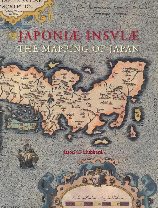
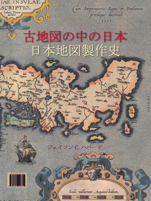
Japoniae insulae the mapping of Japan historical introduction and cartobibliography of European printed maps of Japan to 1800
Hardback444 pagina’sEngels
The Mapping of Japan systematically categorizes and provides an overview of all the European printed maps of Japan published to 1800.The author has undertaken a review of the literature, conducted an exhaustive investigation in major libraries and private collections, analyzed these findings and then compiled information on 125 maps of Japan. The introduction contains information about the mapping to 1800, the typology of Japan by western cartographers, an overview on geographical names on early modern western maps of Japan and a presentation of the major cartographic models developed for this book.This is Volume XIV of the Utrecht Studies on the History of Cartography (Explokart). This series is prepared under the direction of the Research Program URU-Explokart of the University Utrecht. It is aimed at both researchers and laymen with an interest in these matters.
In het kort
ISBN-13
9789061945314
Uitgever
Verschenen
7 september 2012
Serie
Studies on the history of cartography · 14
Bibliografisch
ISBN-139789061945314
SerieStudies on the history of cartography — deel 14
Editie1
TaalEngels eng
Pagina’s444
GeïllustreerdJa
Uitgave
Vorm & inhoud
ProductvormHardback BB
SamenstellingLos product
Classificatie
Medewerkers
Herkomst
Werk-id (NSTC)500273325
MeldingBevestigd bij publicatie 03
Bijgewerkt6 augustus 2026
Lijkt op dit boek








NSTC 500273325 · CB-relatie 7600533 · Bijgewerkt 6 augustus 2026