
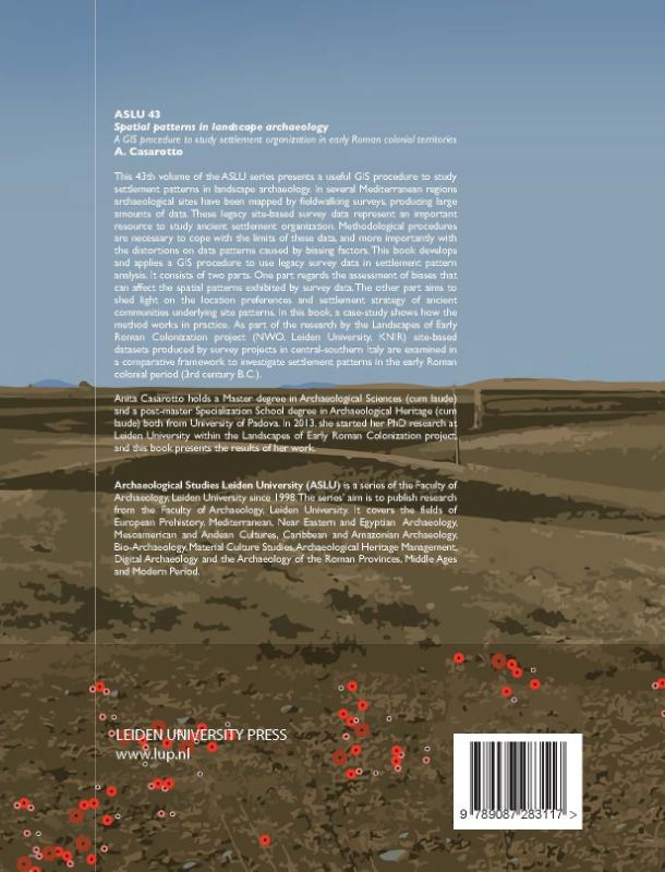
Spatial Patterns in Landscape Archaeology A GIS Procedure to Study Settlement Organization in Early Roman Colonial Territories
This 43th volume of the ASLU series presents a useful GIS procedure to study settlement patterns in landscape archaeology. In several Mediterranean regions archaeological sites have been mapped by fieldwalking surveys, producing large amounts of data. These legacy site-based survey data represent an important resource to study ancient settlement organization. Methodological procedures are necessary to cope with the limits of these data, and more importantly with the distortions on data patterns caused by biasing factors.
This book develops and applies a GIS procedure to use legacy survey data in settlement pattern analysis. It consists of two parts. One part regards the assessment of biases that can affect the spatial patterns exhibited by survey data. The other part aims to shed light on the location preferences and settlement strategy of ancient communities underlying site patterns. In this book, a case-study shows how the method works in practice. As part of the research by the Landscapes of Early Roman Colonization project (NWO, Leiden University, KNIR) site-based datasets produced by survey projects in central-southern Italy are examined in a comparative framework to investigate settlement patterns in the early Roman colonial period (3rd century B.C.).
Anita Casarotto is an archaeologist and researcher specializing in GIS, survey methodology, pattern analysis and digital applications for cultural resource management. She obtained her PhD in 2018 from the Faculty of Archaeology at Leiden University.
This book develops and applies a GIS procedure to use legacy survey data in settlement pattern analysis. It consists of two parts. One part regards the assessment of biases that can affect the spatial patterns exhibited by survey data. The other part aims to shed light on the location preferences and settlement strategy of ancient communities underlying site patterns. In this book, a case-study shows how the method works in practice. As part of the research by the Landscapes of Early Roman Colonization project (NWO, Leiden University, KNIR) site-based datasets produced by survey projects in central-southern Italy are examined in a comparative framework to investigate settlement patterns in the early Roman colonial period (3rd century B.C.).
Anita Casarotto is an archaeologist and researcher specializing in GIS, survey methodology, pattern analysis and digital applications for cultural resource management. She obtained her PhD in 2018 from the Faculty of Archaeology at Leiden University.
In het kort
ISBN-13
9789087283117
Uitgever
Verschenen
4 oktober 2018
Imprint
Bibliografisch
ISBN-139789087283117
SerieArchaeological studies Leiden University (ASLU) — deel 43
Editie1
TaalEngels eng
Pagina’s152
GeïllustreerdJa
Uitgave
UitgeverLeiden University Press
ImprintLeiden University Press
CB-relatie-id6345163
Verschenen4 oktober 2018
StatusOnbekend 00
BeschikbaarheidContact leverancier 99
Zonder prijsPrijs volgt
Vorm & inhoud
ProductvormPaperback BC
SamenstellingLos product
Classificatie
NUR (hoofd)Archeologie 682
NUR (alle)682 Archeologie
Medewerkers
Auteur A01Anita Casarotto
Herkomst
Werk-id (NSTC)500346608
MeldingBevestigd bij publicatie 03
Laatste CB-bericht7766
Bijgewerkt5 augustus 2026
Lijkt op dit boek
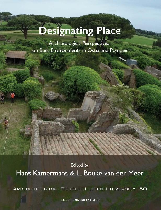
Designating Place
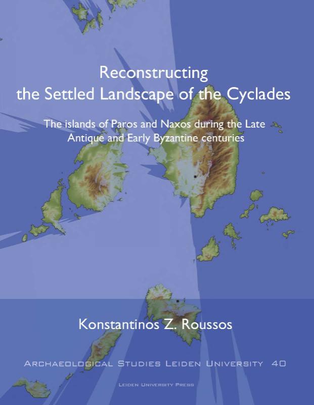
Reconstructing the Settled Landscape of the Cyclades
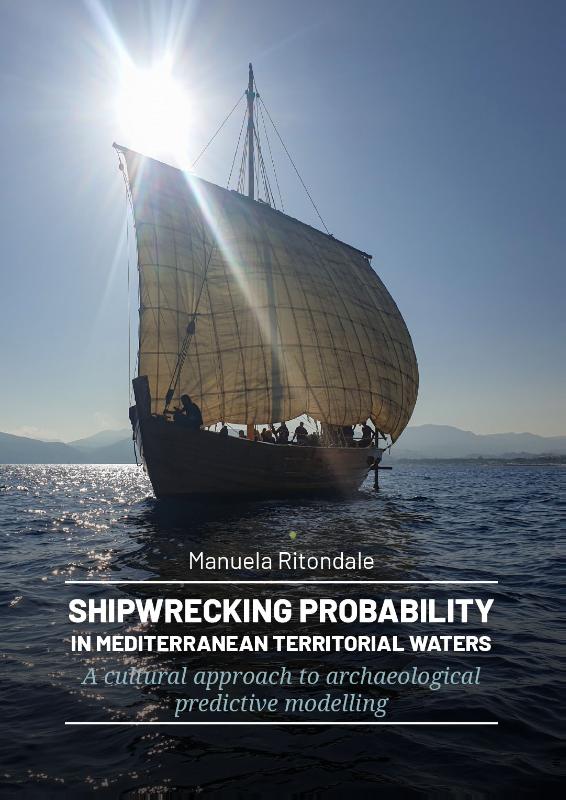
Shipwrecking Probability in Mediterranean Territorial Waters

Documenting Ancient Sagalassos

Mapping landscapes in transformation
Liquid Footprints
Archaeological Approaches to Inequality, Political Organisation, and Social Complexity
The potters’ perspectives
Wild West Frisia
Irrigating the Desert
NSTC 500346608 · CB-relatie 6345163 · Laatste CB-bericht 7766 · Bijgewerkt 5 augustus 2026