
Satellite InSAR data reservoir monitoring from space
Marjolein van Kraanen bewerker
Ook verkrijgbaar als
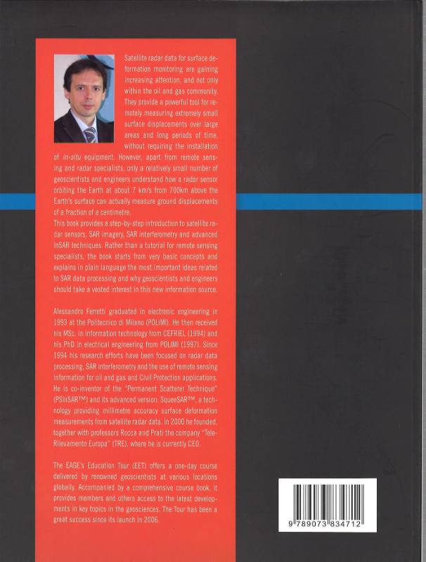
Satellite radar data for surface deformation monitoring are gaining increasing attention, and not only within the oil and gas community. They provide a powerful tool for remotely measuring extremely small surface displacements over large areas and long periods of time, without requiring the installation of in-situ equipment. However, apart from remote sensing and radar specialists, only a relatively small number of geoscientists and engineers understand how a radar sensor orbiting the Earth at about 7 km/s from 700km above the Earth's surface can actually measure ground displacements of a fraction of a centimetre. This book provides a step-by-step introduction to satellite radar sensors, SAR imagery, SAR interferometry and advanced InSAR techniques. Rather than a tutorial for remote sensing specialists, the book starts from very basic concepts and explains in plain language the most important ideas related to SAR data processing and why geoscientists and engineers should take a vested interest in this new information source.Contents1 Motivation 92 Satellite radar images 132.1 Key features of satellite radar systems 132.2 Amplitude and phase information: the magic of complex numbers 142.3 Range resolution, signal compression and formation of a range line 202.4 Acquisition geometry and synthetic aperture 242.5 SAR images 272.6 Geometric distortions and satellite orbit 312.7 Scattering mechanisms 342.8 What we have learned so far 393 SAR interferometry 413.1 Measuring phase variations 413.2 Modelling the interferometric phase 433.3 SAR interferograms 503.4 Phase decorrelation and coherence maps 543.5 Atmospheric effects 613.6 Phase Unwrapping 663.7 What we have learned so far 694 Multi-interferogram techniques 714.1 Some history 714.2 The Permanent Scatterer (PS) technique: PSInSAR 744.3 SBAS and other multi-interferogram techniques 814.4 SqueeSAR 854.5 Estimation of 2-dimensional displacement fields 914.6 Precision assessment and validation 944.7 What we have learned so far 1005 Oil and gas applications 1015.1 Surface expression of reservoir dynamics: an opportunity more than a problem 1015.2 Inversion of surface deformation data 1075.3 A case study in Middle East 1155.4 Carbon Capture and Storage (CCS) 1195.5 Underground Gas Storage (UGS) 1245.6 Off-shore applications 1275.7 What we have learned so far 1296 Conclusions and future trends 1316.1 InSAR applications 1316.2 Artificial Reflectors 1366.3 Satellite archives, historical analyses and monitoring projects 1396.4 New trends and why we should care 143
In het kort
ISBN-13
9789073834712
Uitgever
Verschenen
10 februari 2014
Imprint
Bibliografisch
Uitgave
UitgeverEAGE Publications bv
ImprintEAGE Publications bv
CB-relatie-id8051011
Verschenen10 februari 2014
StatusOnbekend 00
Vorm & inhoud
ProductvormPaperback BC
SamenstellingLos product
Classificatie
NUR (hoofd)Geologie 933
NUR (alle)933 Geologie
Medewerkers
Auteur A01Alessandro Ferretti
Bewerker B05Marjolein van Kraanen
Herkomst
Werk-id (NSTC)500181245
MeldingBevestigd bij publicatie 03
Bijgewerkt6 augustus 2026
NSTC 500181245 · CB-relatie 8051011 · Bijgewerkt 6 augustus 2026