
Satellite InSAR Data: Reservoir Monitoring from Space
Ook verkrijgbaar als
Satellite radar data for surface deformation monitoring are gaining increasing attention, and not only within the oil and gas community. They provide a powerful tool for remotely measuring extremely small surface displacements over large areas and long periods of time, without requiring the installation of in-situ equipment. However, apart from remote sensing and radar specialists, only a relatively small number of geoscientists and engineers understand how a radar sensor orbiting the Earth at about 7 km/s from 700km above the Earth's surface can actually measure ground displacements of a fraction of a centimetre. This book provides a step-by-step introduction to satellite radar sensors, SAR imagery, SAR interferometry and advanced InSAR techniques. Rather than a tutorial for remote sensing specialists, the book starts from very basic concepts and explains in plain language the most important ideas related to SAR data processing and why geoscientists and engineers should take a vested interest in this new information source.
In het kort
ISBN-13
9789462820036
Uitgever
Verschenen
1 juli 2014
Bibliografisch
ISBN-139789462820036
SerieEducation Tour Series — deel 9
Editie1
TaalEngels eng
Pagina’s158
GeïllustreerdJa
Uitgave
Vorm & inhoud
ProductvormE-book ED
VormdetailE200 Reflowable
E101 EPUB
E101 EPUB
SamenstellingLos product
EPUB-versie3
Beveiliging e-bookDigitaal watermerk 02
Classificatie
NUR (hoofd)Geologie 933
NUR (alle)933 Geologie
Medewerkers
Auteur A01Alessandro Ferretti
Herkomst
Werk-id (NSTC)500181245
MeldingBevestigd bij publicatie 03
Bijgewerkt6 augustus 2026
Lijkt op dit boek
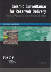
Seismic surveillance for reservoir delivery from a practitioners point of view
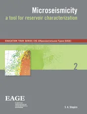
Microseismicity
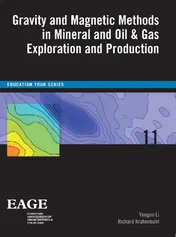
Gravity and magnetic methods in mineral and oil & gas exploration and production
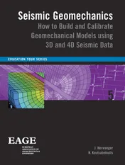
Seismic geomechanics
Beyond conventional seismic imaging
Velocities, time-imaging and depth-imaging; principles and methods
Seismic reservoir characterization
Advances in gravity and magnetic processing and interpretation
Integrated geophysical models
Applications of seismic anisotropy in the oil and gas industry
NSTC 500181245 · CB-relatie 8051011 · Bijgewerkt 6 augustus 2026